Newsletter of the College of Architecture at Texas A&M University
Funded by a two-year, $400,000 NASA grant, a Texas A&M at Galveston research team is investigating the amount of carbon sequestration capacity lost over the last decade from alterations to naturally occurring estuarine wetlands along the Gulf Coast.
Carbon sequestration is a biological process in which carbon dioxide, a greenhouse gas, is removed from the atmosphere and deposited in, for example, wetlands or tidal marshes.
The multidisciplinary study, lead by principal investigator Patrick Louchouarn, associate professor of marine science, will examine relationships between carbon sequestration, coastal wetlands and changes in land use.
Joining Louchouarn as co-principals on the project are Anna Armitage, assistant professor of coastal and wetlands ecology, Wes Highfield, assistant research scientist in the Department of Marine Science, and Sam Brody, who holds the George P. Mitchell Chair in Sustainable Coasts in Department of Marine Sciences at TAMU-G, as well as a joint appointment to the Department of Landscape Architecture and Urban Planning at Texas A&M University’s College of Architecture
"This project," said Brody, who also directs the Center for Texas Beaches and Shores at TAMU-G and the Environmental Planning and Sustainability Research Unit at Texas A&M’s Hazard Reduction and Recovery Center, "represents the next generation of multidisciplinary research on sustainability and resiliency combining ecology, marine chemistry and planning, for which we hope to be in the forefront."
The study's four research objectives are to:
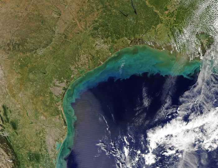
The research team will use NASA satellite imagery to characterize carbon sequestration storage within diverse wetland ecosystems and to measure the influence that land-use change and climate-induced ecosystem shifts — such as salt marsh to mangrove succession and wetlands to open water — may have on both the pools and fluxes of carbon sequestration within these systems.
Once they have quantified carbon sequestration potential on the Texas coast, the team will be able to estimate its storage potential in tidal estuarine wetlands throughout the Gulf of Mexico region.
- Posted: Jan. 13, 2011 -
Contact: Phillip Rollfing, prollfing@archone.tamu.edu or 979.458.0442.