Newsletter of the College of Architecture at Texas A&M University
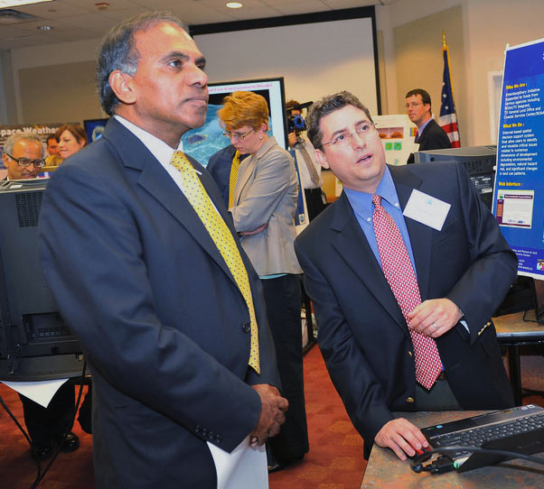
Two faculty members from Texas A&M’s College of Architecture were among researchers presenting their National Science Foundation-funded projects to U.S. senators Sept. 6, 2011 at the NSF’s Hazards Research Expo in Washington DC.
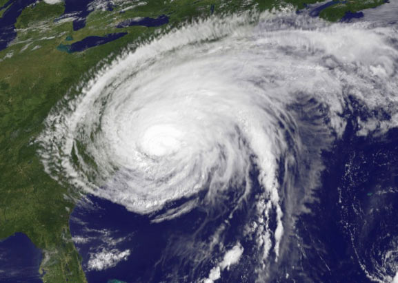
Sam Brody and Michael Lindell, professors of urban planning, presented their work on the Texas coast’s hazard vulnerabilities and the development of a hurricane evacuation decision-making model at the expo, where senators and their staff learned the impact of NSF-supported work and how it enables policymakers and disaster responders to better predict, prepare for, mitigate and respond to significant hazards that affect life, property, societal infrastructure and natural assets.
The Congressional Hazards Caucus and the American Geophysical Union sponsored the expo, which took place in the Hart Senate Office Building.
Sam Brody, who holds the George P. Mitchell Chair in Sustainable Coasts, and Himanshu Grover, who earned a Ph.D. in Urban and Regional Sciences at Texas A&M, presented the interactive Texas Coastal Communities Planning Atlas, a web-based geographic information system Brody developed that allows anyone with an Internet connection to imagine the possible futures of coastal areas in Texas and the consequences of hazards and land development.
Grover is now an assistant professor of urban and regional planning at the University of Buffalo.
The interactive atlas, layered with scientific data and findings concerning the physical, environmental, policy and social patterns present along the coast, includes data on hazard vulnerabilities, impact and recovery over several years, and can isolate data for a particular community, neighborhood, or even a home.
Users of the public site can drop one or many of the atlas’ information layers two counties deep all along the Texas coast or pinpoint a spot by zooming in to a specific location. The available data sets include hurricane storm surge zones, property values, elevation, dams, wetland permits and many more.
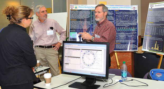
Michael Lindell’s presentation to the senators focused on work he’s doing with a colleague from Clemson University evaluating hurricane information displays to better understand how people interpret hurricane forecasts and the uncertainties in those forecasts.
The project abstract notes “there is a growing body of anecdotal evidence that many people misunderstand displays meteorologists are providing.”
The researchers are developing a formal model of hurricane evacuation decision making by examining the cognitive processes involved in tracking a hurricane’s progress to suggest improvements in hurricane evacuation decision training and hurricane information displays, and use the model to design and evaluate new ways of visualizing storm information.
Lindell and Donald House, a former visualization professor at Texas A&M who now heads the division of visual computing at Clemson University, are principal investigators in the project, estimated for completion in 2012.
— Posted: Sep. 8, 2011—
Contact: Phillip Rollfing, prollfing@archone.tamu.edu or 979.458.0442.

Michael Lindell

Sam Brody